Volcano Watch: Aloha ʻoe to a remarkable and beloved volcanologist, Dr. Jim Kauahikaua


Distinguished volcanologist Dr. James P. “Jim” Kauahikaua, Ph.D., passed away in the early morning hours of Sunday, Oct. 8, 2023. James Puupai Kauahikaua was a respected geophysicist and the first kanaka maoli (indigenous Hawaiian) to serve as scientist-in-charge of the USGS Hawaiian Volcano Observatory (HVO).
Jim grew up on Oahu; he attended Kamehameha Schools, Pomona College in California, and the University of Hawaii at Manoa. In 1988, he joined the staff at HVO as a research geophysicist and found his true home living among and studying the volcanoes on the island of Hawaii. He was dedicated to pursuing research that would directly benefit the people of Hawaii nei.
ADVERTISING
Jim’s first projects applied electrical resistivity in large surveys across the island of Hawaii to map groundwater resources in west Hawaii and the Humu‘ula Saddle. He also mapped water-saturated rock around the summit of Kilauea volcano, which became important in his later work.
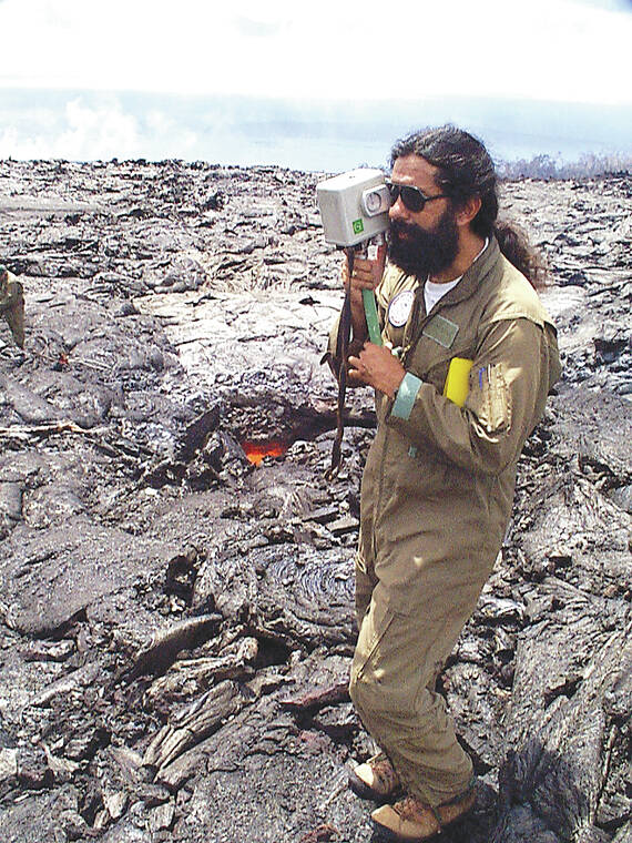
Jim creatively adapted similar techniques to measure the dimensions of active lava flowing within lava tubes. Along with lava flow velocities, this information was used to calculate changes in eruption rates that was crucial as the community of Kalapana was covered by lava in 1990. The destruction there triggered Jim’s strong interest in lava flow hazards and mitigation, topics that continued to be focal points of his research throughout his career.
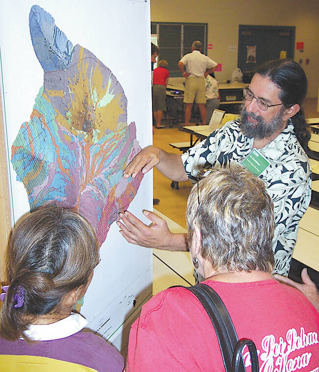
The internal structure of volcanoes also intrigued Jim, as a means to better understand patterns of eruptions and earthquakes. During a decade-long project, Jim measured differences in gravity across the island of Hawaii, the results of which provided a startling picture of the subsurface. This work was central to developing a model for Hawaiian volcanoes, with their flanks being pushed outwards by dense cores, creating major earthquakes and fracture zones where eruptions are more likely to occur.
Over the course of his career, Jim gradually grew from a scientist to a scientific historian with a deep interest in exploring the intersection of western scientific thought and traditional Hawaiian knowledge. Initially, he read accounts in English, largely written by westerners, detailing Hawaiian recollections of past events. Later, he worked with a variety of collaborators translating documents written in Hawaiian so that their perspectives on volcanic events could provide a better understanding of how Hawaiian volcanoes work.
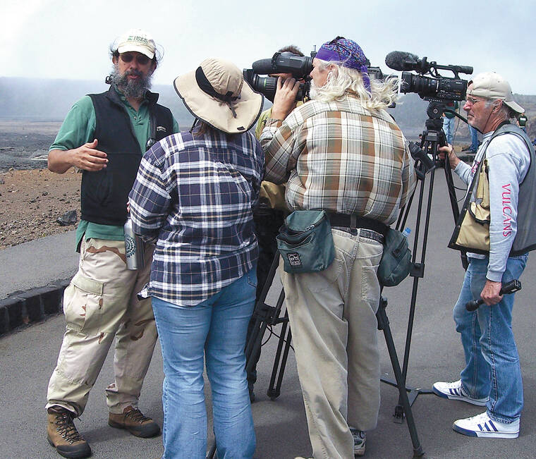
Jim worked with colleagues in the National Park Service and other organizations to develop ways to communicate that resonated more deeply with the community. He was also involved in Na Pua No‘eau and other groups that engage Native Hawaiian students. In 2013, he arranged a workshop bringing scientists and Native Hawaiian cultural practitioners together. He wrote of that event, “We hope that a broader interest in Hawaiian views about locations in Hawaii where physical scientific work is done will … benefit the native peoples of Hawaii.”
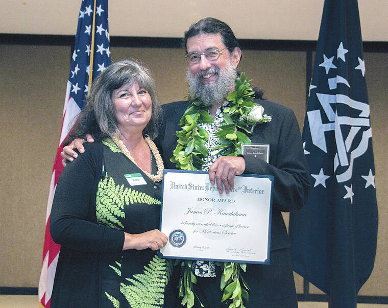
Jim’s tenure as HVO scientist-in-charge, from 2004 to 2015, was one of the longest in HVO’s history. During those years, he navigated HVO staff through several periods of volcanic unrest and crisis. He also led an effort to modernize HVO’s monitoring network, developing a resilient telemetry structure that allowed the network to remain operating even after the HVO building was damaged in 2018. Jim was recognized for his substantial career contributions in both science and leadership by the US Geological Survey and the Department of the Interior in 2015 with a Citation for Meritorious Service.
After stepping down as SIC, Jim served as the principle HVO contact to emergency management officials during Kilauea’s devastating 2018 eruption. His combined knowledge of community, historical eruptive activity and lava flow hazards were crucial to keeping responders informed as the eruption progressed.
When water appeared within Halema‘uma‘u in 2019, it confirmed Jim’s early career work that Kilauea’s summit was underlain by water-saturated rock at shallow levels. Jim then pored through Hawaiian literature, finding references of Pelehonuamea facing the threat of water drowning her volcanic fires at Kilauea summit, which suggest water had previously been present there. Most recently, Jim had been focusing on using various records to create detailed reconstructions of eruptive histories extending into the early 1800s as a means to better understand the range of activity we could expect during periods of prolonged summit eruptions.
Jim brought volcano monitoring at HVO into the modern era and established a deeper cultural understanding of how HVO is connected to the aina and the people we serve. We are grateful to Jim for his passion and dedication, which will continue to inspire us moving forward.
Volcano activity updates
Kilauea is not erupting. Its USGS Volcano Alert level is ADVISORY.
The area just south of Kilauea’s summit continues to show signs of episodic unrest. Overall, inflation at the summit of Kilauea remains high and has surpassed the level seen just before the most recent eruption on Sept. 10. Seismicity in the region south of Kilauea caldera summit continues, though at decreased rates from the peak in activity on Oct. 6. The most recent sulfur dioxide (SO2) emission rate, of approximately 100 tonnes per day, was measured on Oct. 6.
Mauna Loa is not erupting. Its USGS Volcano Alert Level is at NORMAL.
Webcams show no signs of activity on Mauna Loa. Seismicity remains low. Summit ground deformation rates indicate slow inflation as magma replenishes the reservoir system following the recent eruption. SO2 emission rates are at background levels.
Two earthquakes were reported felt in the Hawaiian Islands during the past week: a M2.8 earthquake 2 km (1 mi) WSW of Pahala at 31 km (19 mi) depth on Oct. 17 at 1:06 p.m. HST and a M3.2 earthquake 32 km (19 mi) WNW of Puako at 39 km (24 mi) depth on Oct. 12 at 5:28 p.m. HST.
HVO continues to closely monitor Kilauea and Mauna Loa.
Please visit HVO’s website for past Volcano Watch articles, Kilauea and Mauna Loa updates, volcano photos, maps, recent earthquake information, and more. Email questions to askHVO@usgs.gov.
Volcano Watch is a weekly article and activity update written by U.S. Geological Survey Hawaiian Volcano Observatory scientists and affiliates.