Mount Washington experiences record-setting wind chill
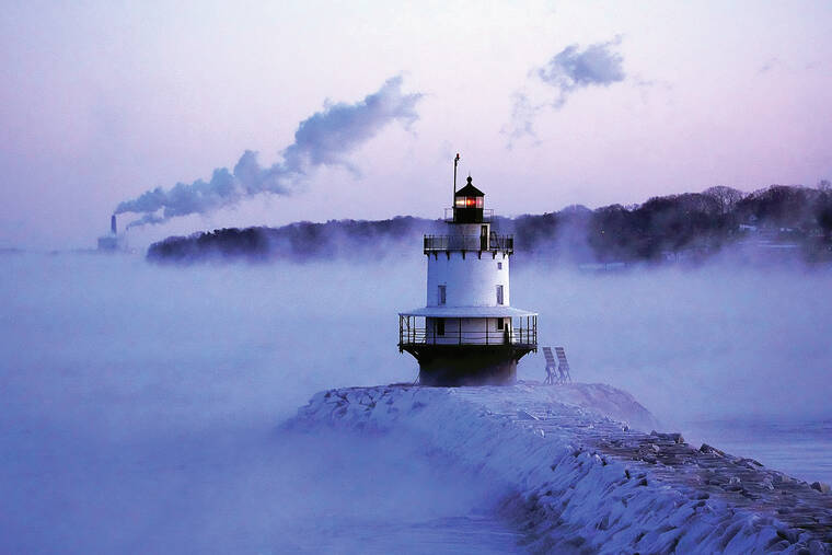
BOSTON — The Arctic air that descended on the Northeast on Saturday brought dangerously cold sub-zero temperatures and wind chills to the region, including a record-setting wind chill of minus 108 degrees Fahrenheit (minus 78 C) on the summit of Mount Washington in New Hampshire.
Temperatures got so low that authorities in Massachusetts took the unusual step of keeping the South Station transit hub open overnight so homeless people had a safe place to sleep. Several cities in the Northeast set or tied record low temperatures for the date, while the high winds brought down a tree branch on a car in western Massachusetts killing an infant.
ADVERTISING
“I can’t remember it being this cold, not since 2015,” said Gin Koo, 36, wrapped up in three shirts and a down jacket, as well as a hat and a hood, as he walked his Boston terrier, Bee, in Boston on Saturday morning. Even Bee, wrapped in a doggie coat, shivered. “I wouldn’t go out if I didn’t have to.”
Paul Butler, 45, who has been homeless since he was evicted in December 2021, took shelter in South Station.
“This is the coldest I ever, ever remember, and I worked the door at a bunch of clubs for 15 years,” said the former Marine.
The Arctic air reached the region just as a rapid cyclogenesis developed over Labrador and Newfoundland, churning up powerful winds, meteorologist Donald Dumont at the National Weather Service in Gray, Maine, said. A cyclogenesis refers to an intensification of a cyclone or low-pressure storm system. The Mount Washington Observatory at the peak of the Northeast’s highest mountain, famous for its extreme weather conditions, also recorded an actual temperature of minus 47 (minus 44 C), tying an observatory record set in 1934 and a wind gust of 127 mph (204 kmh).
Across the rest of the region, wind chills — the combined effect of wind and cold air on exposed skin — dropped to as low as minus 45 to minus 50 degrees Fahrenheit (minus 43 to minus 45 C), the National Weather Service reported.
