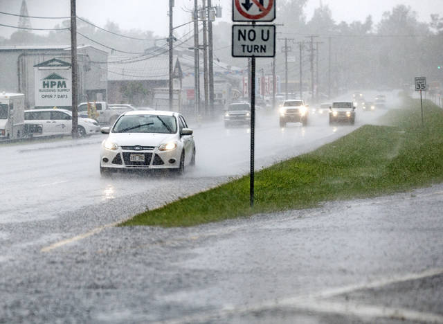
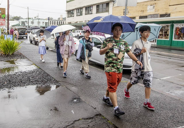
It was an overcast and stormy Thursday in Hilo, with periods of heavy rain and occasional booming bouts of thunder and lightning — weather patterns that likely will continue in the coming days, according to forecasters.
Melissa Dye, a meteorologist with the National Weather Service in Honolulu, said there is an “upper low” weather system, or a low pressure system in the upper levels of the atmosphere, perched near the state that’s causing atmospheric instability.
That means heavy rain could be possible through today and Saturday.
By 3:30 p.m. Thursday, 2.3 inches of rain were measured in Hilo that fell during the previous 24 hours, according to Dye.
“There is still that flash flood watch that does go through (tonight), so definitely rain is not over quite yet,” she said.
Although the activity will largely focus on windward areas, with strong trade winds in place, heavy showers and thunderstorms also are possible throughout leeward areas of the island, according to the NWS.
During a flash flood watch, motorists are urged to drive with caution as road closures can occur without notice. Motorists also should not cross fast-moving water.
A high surf advisory also is in effect for east-facing shores through 6 p.m. Sunday, and a wind advisory is in effect for the South Kohala District through 6 a.m. today.
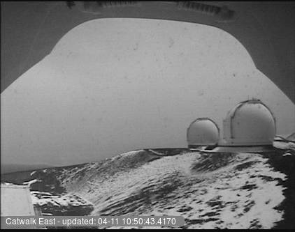
The NWS issued a winter weather advisory for Big Island summits above 11,500 feet, which include the summits of Maunakea and Mauna Loa, which is in effect until 6 a.m. Saturday.
Light snow had already fallen Thursday at the summit of Maunakea. According to the advisory, 1-3 inches of snow is expected.
The Maunakea summit access road was closed Thursday afternoon at the 9,200 feet elevation because of high humidity, fog, freezing temperatures, snow and icy road conditions.
Email Stephanie Salmons at ssalmons@hawaiitribune-herald.com.